Active Tropical Weather Systems (Select for Details):

To view in a full screen version, please click anywhere on the map...
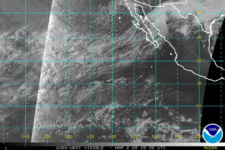
Latest Visible Satellite Image of the Eastern North Pacific (click to open loop):

Latest Infrared Satellite Image of the Eastern North Pacific (click to open loop):
Latest Water Vapor Image of the Eastern North Pacific (click to open loop):
The above graphics and data are published as part of the public domain and are meant for general informational purposes only. For exclusive radar and satellite imagery focused on a specific area as well as pinpoint track data and forecasts from both the National Hurricane Center and WeatherGuidance meteorologists, contact us today at (512) 504-3151 for a free trial demonstration of our exclusive TropicalWarn service.

