Eastern Atlantic Satellite Imagery
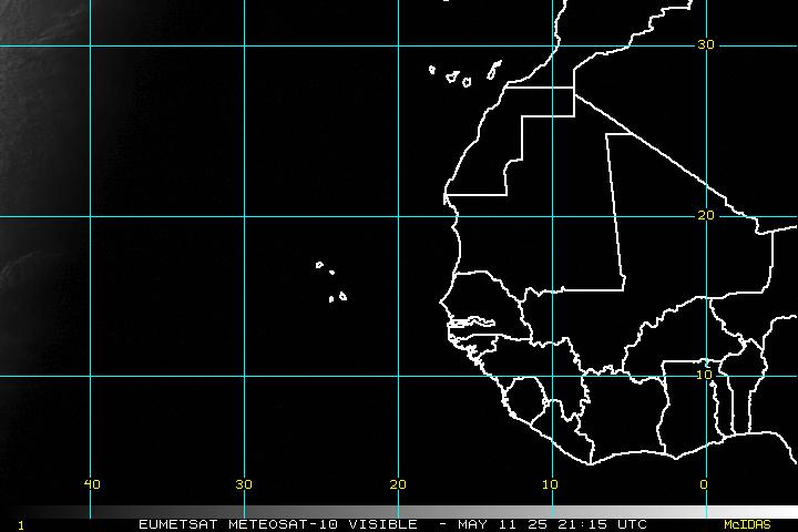
Latest Visible Image (click to open 6 hour loop):
Latest Infrared Image (click to open 6 hour loop):
Latest Water Vapor Image (click to open 6 hour loop):
Return to Atlantic/Gulf of Mexico Tropical Weather Homepage
The above graphics and data are published as part of the public domain and are meant for general informational purposes only. For exclusive radar and satellite imagery focused on a specific area as well as pinpoint track data and forecasts from both the National Hurricane Center and WeatherGuidance meteorologists, contact us today at (512) 504-3151 for a free trial demonstration of our exclusive TropicalWarn service.


